The Pantanal lies in the centre-west region of Brazil, divided between the states of Mato Grosso and Mato Grosso do Sul. It also extends into areas of Bolivia and Paraguay, forming the largest continuous floodplain on the planet.
Is the Pantanal a state, a city or a biome?
The Pantanal is not a political unit but a biome: a set of ecosystems defined by shared geographical and climatic characteristics, in this case a vast plain that floods seasonally. It spreads across the territory of two Brazilian states, Mato Grosso and Mato Grosso do Sul, and also extends into parts of Bolivia and Paraguay, which makes the Pantanal an international biome, not contained within a single border. Within this area there are several cities and municipalities that serve as gateways to different regions of the Pantanal.
What forms the Pantanal plain geologically?
The Pantanal plain occupies an ancient geological depression, formed by the Paraguay River basin and its tributaries, in an area of low altitude and minimal slope. This relief means that, in the rainy season, river water overflows and spreads across an enormous stretch of land, creating the phenomenon known as the flood pulse. In the dry season, the water recedes, the rivers return to their channels and the landscape becomes a succession of open fields, capões de mata (forest islands), and remaining bodies of water. This repeated cycle of flood and drought, year after year, is what structures the whole ecological dynamic of the biome.
What is the difference between Pantanal Norte and Pantanal Sul?
The Pantanal is usually divided, for practical purposes, between the portion in Mato Grosso, referred to as Pantanal Norte (the northern Pantanal), and the portion in Mato Grosso do Sul, referred to as Pantanal Sul (the southern Pantanal). Although they share the same general hydrological regime and much of the fauna and flora typical of the biome, the two regions have their own landscapes and access routes, with different municipalities serving as bases for wildlife watching, sport fishing and ecotourism. The choice between one and the other usually depends on the specific itinerary booked and the attractions the traveller wants to see.
Why is the Pantanal considered a Natural World Heritage Site?
Parts of the Pantanal were recognised by UNESCO as a Natural World Heritage Site because of the combination of the extent of the floodplain, the exceptional biodiversity it supports and the importance of the biome to the hydrological balance of the entire Paraguay River basin. This international recognition reinforces the importance of conserving the region, which is home to significant populations of species such as the jaguar, the jabiru, the Yacare caiman and hundreds of bird species, many of them directly dependent on the flood and dry cycle for breeding and feeding.
What is the climate of the Pantanal like throughout the year?
The Pantanal has a tropical climate with well-defined seasons: a rainy period, concentrated in summer, when the plain floods extensively, and a dry period, in winter, when the volume of water recedes and temperatures tend to be milder, especially in the morning and at night. This seasonal alternation directly influences the kind of experience visitors will have, from how easy it is to travel overland to how much wildlife can be seen near bodies of water. Before planning the trip, it is worth considering which season best suits the kind of activity you have in mind.
Is there a caravan to the Pantanal departing from Porto Alegre?
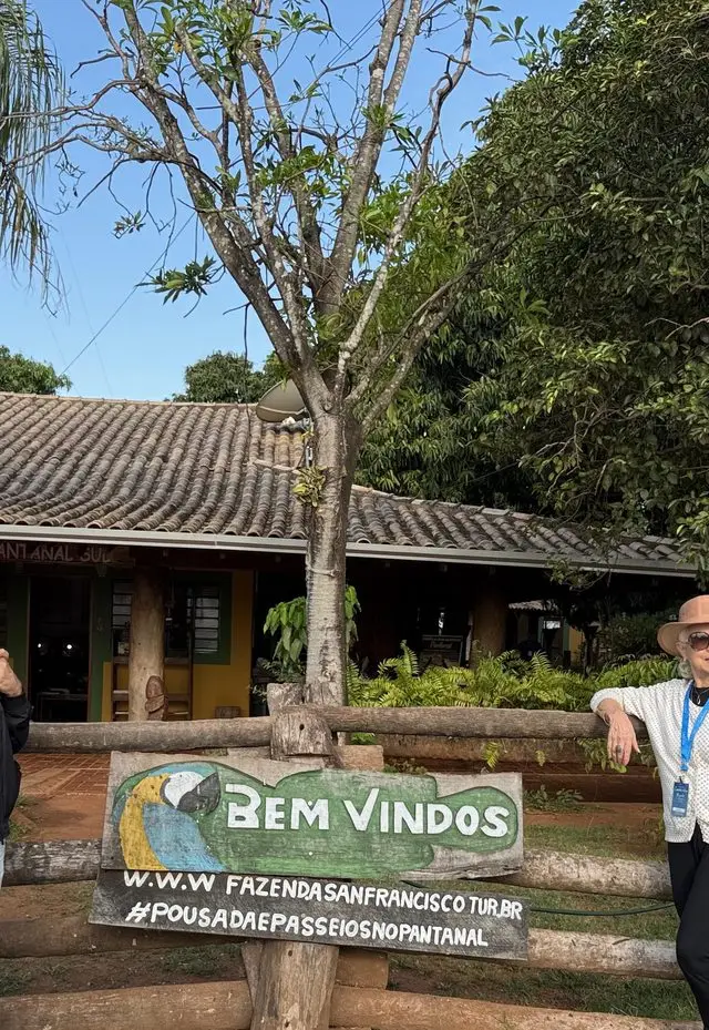
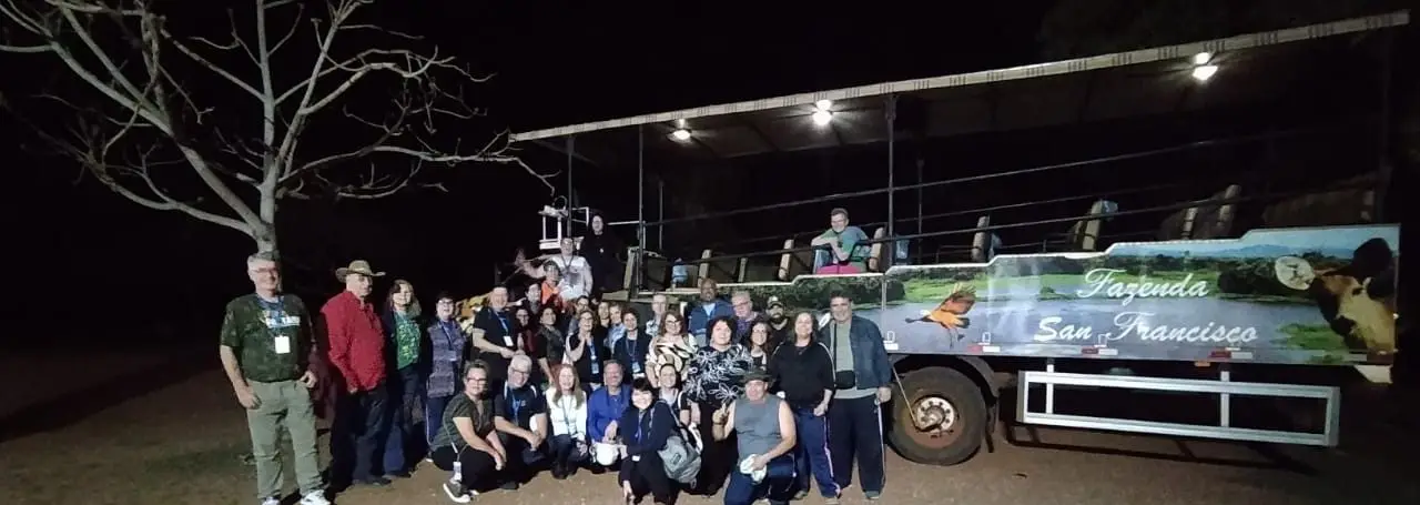
Yes. Mundo a Passeio organises coach caravans that depart from Porto Alegre for the Pantanal, as part of an itinerary that also includes Bonito and Foz do Iguaçu. Fazenda San Francisco, a property that serves as a base for activities in contact with the Pantanal biome, is part of the destination of a real caravan run by the agency. To see the full programme and what is included in the trip, the right channel is to confirm directly on the agency's WhatsApp.
What kind of vegetation is there in the Pantanal?
The vegetation of the Pantanal is a mosaic of distinct formations, shaped precisely by the flood and dry regime: open fields that are submerged in the rainy season, capões de mata (islands of denser vegetation on raised ground that stay dry even during the flood) and strips of riparian forest along the rivers and corixos (small watercourses). This variety of environments within a single landscape is one of the reasons the Pantanal supports such diverse wildlife, since different species depend on different types of vegetation at different moments of the annual hydrological cycle.
Understanding where the Pantanal is and how its natural flood and dry cycle works helps you plan any trip to the region better, whatever time of year you choose.
To continue planning, see also the best time to see jaguars in the Pantanal, Fazenda San Francisco and the photo safari in the Pantanal and what it is like to travel by coach from Porto Alegre to the Pantanal.